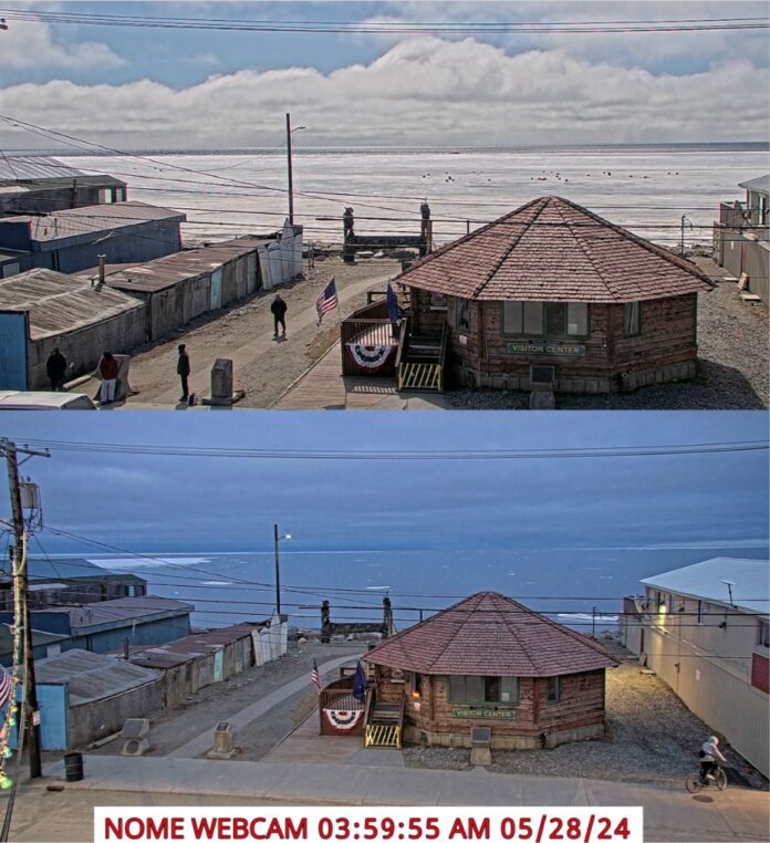
Has summer arrived at Latitude 64.5006° N, just an ice floe south of the Arctic Circle?
Early in the morning on May 28, the landfast ice finally broke away from the shore and the Port in Nome, as can be seen in the radar imagery from the Sea Ice Group at the Geophysical Institute at University of Alaska Fairbanks. The Port of Nome usually plans on its ice-free season around the end of May or June 1; this opening up of the water in Norton Sound and the Bering Sea is right on schedule.
The image in the video is acquired by an 25 kW X-band marine radar mounted on a power pole on the Port of Nome causeway. Images are updated every 4 minutes. The video shows a 24-hour cycle of data and is updated hourly. You can view the updated video at this link.
Past imagery and animations can be found in at this (big files) UAF Google drive archive at this link.
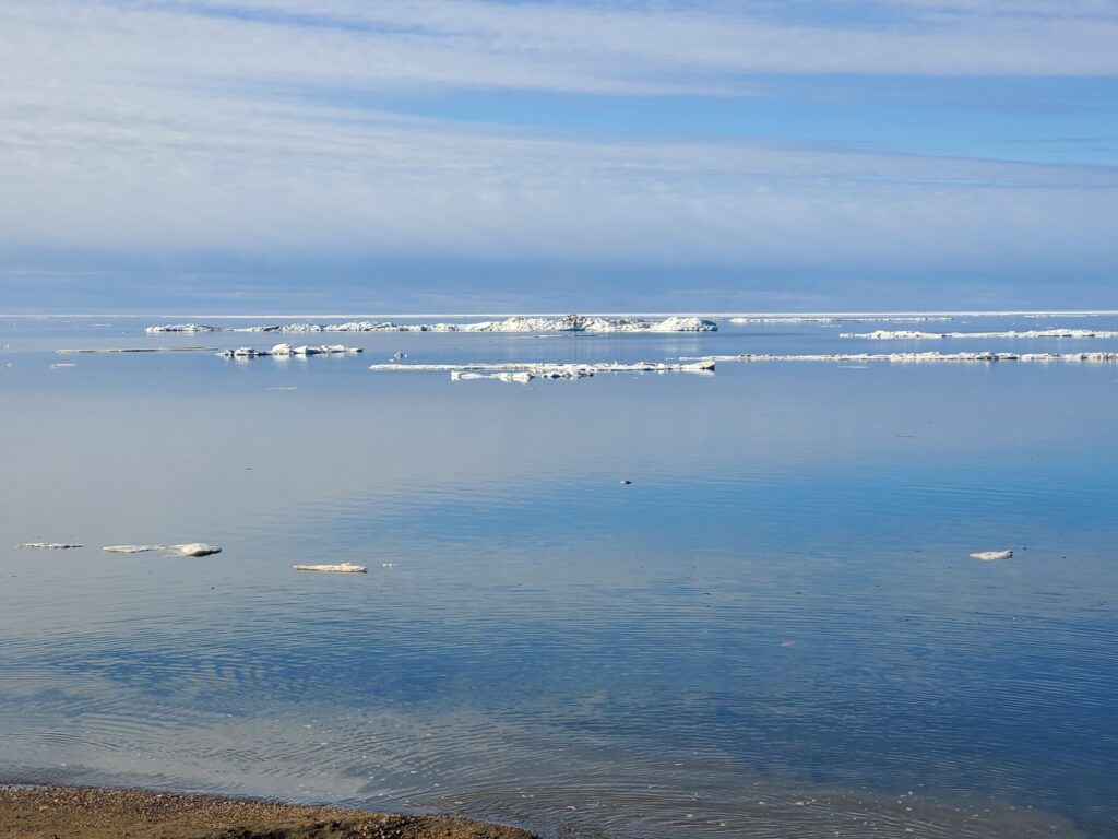
In 2020, the ice went out by May 20, as shown in this photo by an MRAK reader:

The first cruise ship to arrive in Nome in 2024 is Holland America’s Westerdam, arriving on June 21 with up to 1,900 passengers and 800 crew.