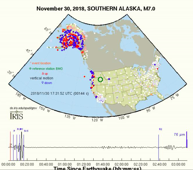
ANIMATION: THE QUAKE PICKED UP AS FAR AWAY AS SOUTH FLORIDA
A series of seismic monitors across the United States, as far away as Southern Florida, picked up vertical and/or horizontal motion in the minutes after the 7.1 magnitude earthquake struck Southcentral Alaska on Nov. 30.
Watch the animated wave as it spreads across Alaska and then the Lower 48 on this U.S. Geological Survey animated map:
If the above video doesn’t play on your devise, here’s the link:
http://ds.iris.edu/spud/gmv/17246644
USArray is a 15-year program to place a dense network of permanent and portable seismographs across the continental United States. The seismographs record local, regional, and distant (teleseismic) earthquakes. The monitors are being placed about 186 miles apart across the U.S.
A map of the array system in the United States can be see with a more close-up view at this link:

